
Wellingtonweather
- Updated
- Sunrise:
- Sunset:
10°C
- 14°C6°C
Mostly cloudy with the odd shower, clearing with gradually increasing fine spells from afternoon. Southeasterlies.
- 14°C7°C
Fine. Easterlies.
- 14°C9°C
Fine. Light winds.
For more detailed weather information visit MetService.
Marine Recreational Forecasts - Wellington
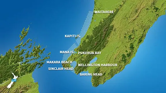
Area Description:
Wellington, Mana
Situation:
A high pressure remains over southern and central New Zealand today and tomorrow, with a showery southeast flow over the east and north of the North Island. The high remains over southern and central New Zealand on Tuesday, as a showery southeast flow over the east and north of the North Island tends gradually easterly. The high shifts to the east of New Zealand during Wednesday and Thursday, turning the flow in the north to northeasterlies, while a north to northwest flow builds elsewhere and a front stalls to the south of the country.
Warnings:
Forecasts:
For Wellington:
Today: Variable 5 knots. Southeast 10 knots developing in the morning. Sea slight. Cloudy periods. Fair visibility in a few morning showers. For the South Coast and Palliser Bay: Southerly swell 1 metre. For Castlepoint: Southerly swell 1.5 metres.
For Mana:
Today: Southeast 10 knots. Sea slight. Cloudy periods.
Outlook:
For Wellington:
Monday: Southeast 10 knots. Becoming variable 5 knots but southeast 10 knots about the south coast in the morning, then easing to variable 5 knots everywhere in the evening. Partly cloudy. For the South Coast and Palliser Bay: Southerly swell 1 metre. For Castlepoint: Southeast swell 1.5 metres easing to 1 metre.
Tuesday: Variable 5 knots, becoming northerly 10 knots later. Fine. For the South Coast and Palliser Bay: Southerly swell 1 metre dying out. For Castlepoint: Southeast swell 1 metre.
Wednesday: Northerly 10 knots, rising to 20 knots early. Fine. For the South Coast and Palliser Bay: Nil significant. For Castlepoint: Easterly swell 1 metre.
For Mana:
Monday: Southeast 10 knots, easing to variable 5 knots in the morning. Partly cloudy.
Tuesday: Variable 5 knots. Fine.
Wednesday: Variable 5 knots, becoming northerly 15 knots early. Partly cloudy.
Swell:
Marine Coastal Forecasts - Cook
Forecast:
Sunday: Southerly 15 knots. Sea slight. Southerly swell 1 metre.
Outlook:
Outlook following 3 days:
Monday: Southeast 15 knots, easing to variable 10 knots early.
Tuesday: South of Cape Terawhiti: Variable 10 knots, becoming northerly 20 knots early. Elsewhere: Variable 10 knots, becoming northwest 15 knots late.
Wednesday: Northwest 15 knots, but northerly 25 knots south of Cape Terawhiti. Sea rough in the south.
Marine Coastal Forecasts - Castlepoint
Forecast:
Sunday: Southerly 10 knots. Sea slight. Long period southwest swell 2 metres easing. Fair visibility in showers.
Outlook:
Outlook following 3 days:
Monday: Variable 10 knots. Moderate southerly swell for a time.
Tuesday: Variable 10 knots, becoming northerly 15 knots later.
Wednesday: Northerly 15 knots, rising to 25 knots early. Becoming northerly 15 knots but 25 knots south of Cape Palliser late. Sea rough at times.