
Taurangaweather
- Updated
- Sunrise:
- Sunset:
17°C
- 19°C12°C
Fine, cloud increasing in the evening. Southeasterlies, turning northerly about midday.
- 19°C11°C
Mainly fine, chance of a shower until afternoon. Northerlies developing for a time in the afternoon and evening.
- 20°C10°C
Fine. Northerlies developing for a time in the afternoon.
For more detailed weather information visit MetService.
Marine Recreational Forecasts - Tauranga
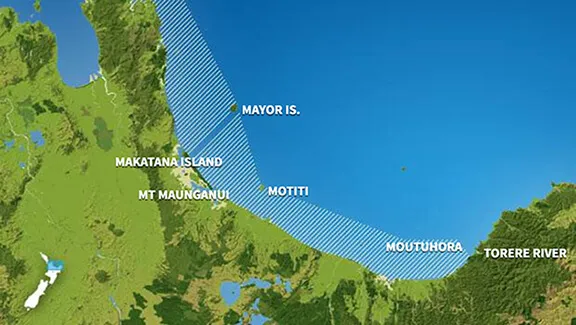
Area Description:
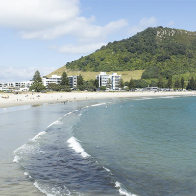
Bay of Plenty
Situation:
A southwest flow weakens today as a ridge of high pressure spreads over most of New Zealand. The ridge lies across most of the country tomorrow, while a trough and a front move east past the far south of the South Island. On Monday, the high remains over northern New Zealand. Meanwhile, a front over the Southern Ocean reaches the south of the South Island at night, with moist northwesterlies strengthening over the far south ahead of the front. During Tuesday and Wednesday, the front moves affects the South Island and weakens, while the ridge of high pressure lingers over the North Island.
Warnings:
Forecasts:
For Bay of Plenty:
Today: Southeast 10 knots, turning northerly 15 knots this afternoon, before easing to 10 knots this evening. Sea slight. Fine. Northeast swell 1 metre developing.
Outlook:
For Bay of Plenty:
Sunday: Northerly 10 knots, becoming northwest 10 knots in the morning. Fine. Northeast swell 1 metre dying out.
Monday: Northwest 10 knots, easing to variable 5 knots late. Cloud clearing and becoming fine. Northerly swell 1 metre developing.
Tuesday: Variable 5 knots, becoming northerly 10 knots early. Partly cloudy. Northerly swell 1 metre dying out.
Swell:
Marine Coastal Forecasts - Plenty
Forecast:
Saturday: Southerly 20 knots. Changing northeast 15 knots but easterly 25 knots offshore in the morning. Becoming northeast 15 knots everywhere in the afternoon. Sea becoming rough for a time offshore. Northeast swell 1 metre developing.
Outlook:
Outlook following 3 days:
Sunday: Northeast 15 knots.
Monday: Northerly 10 knots.
Tuesday: Northwest 10 knots.