
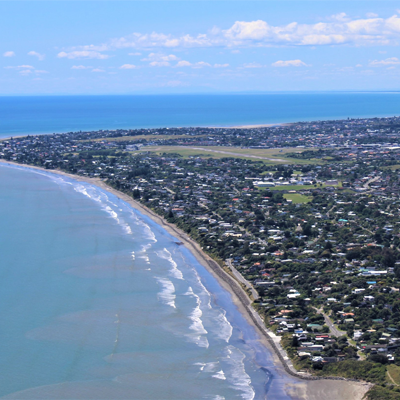
Paraparaumuweather
- Updated
- Sunrise:
- Sunset:
14°C
- 15°C2°C
Fine. Light winds.
- 14°C6°C
Fine with early morning frosts. Light winds, afternoon northerlies.
- 15°C9°C
Fine. Light winds.
For more detailed weather information visit MetService.
Marine Recreational Forecasts - Paraparaumu

Area Description:
Mana
Situation:
A high remains over southern and central New Zealand today and tomorrow, as a showery southeast flow over the east and north of the North Island tends gradually easterly. The high moves away to the east on Wednesday and a moist northerly flow affects the west of the South Island on Thursday. On Friday, a ridge of high pressure covers central New Zealand while a northeasterly flow affects the upper North Island.
Warnings:
Forecasts:
For Mana:
Today: Southeast 10 knots easing to variable 5 knots this evening. Sea slight. Fine.
Outlook:
For Mana:
Tuesday: Variable 5 knots. Northerly 10 knots developing in the afternoon. Sea slight. Cloud clearing and becoming fine.
Wednesday: Variable 5 knots, becoming northerly 15 knots early. Partly cloudy.
Thursday: Northerly 15 knots, easing to variable 5 knots late. Partly cloudy.
Friday: Variable 5 knots. Fine.
Swell:
Marine Coastal Forecasts - Cook
Forecast:
Monday: Southeast 15 knots, easing to variable 10 knots in the afternoon. Sea slight. Southerly swell 1 metre.
Outlook:
Outlook following 3 days:
Tuesday: Variable 10 knots. Northerly 20 knots developing south of Cape Terawhiti from late morning. Sea becoming moderate in the south. Southerly swell 1 metre easing.
Wednesday: Variable 10 knots but northerly 20 knots south of Cape Terawhiti, becoming northwest 15 knots but northerly 25 knots in the south early. Sea rough in the south.
Thursday: South of Cape Terawhiti: Becoming northwest 25 knots early. Elsewhere: Becoming northerly 15 knots early, then easing to variable 10 knots in the morning and becoming northwest 15 knots later. Sea rough in the south.
Friday: Becoming variable 10 knots but northwest 20 knots south of Cape Terawhiti early, then becoming variable 10 knots everywhere in the morning. Rough sea in the south, easing.